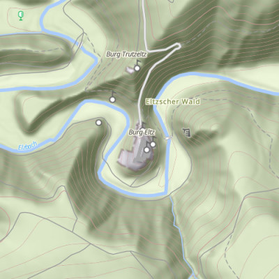
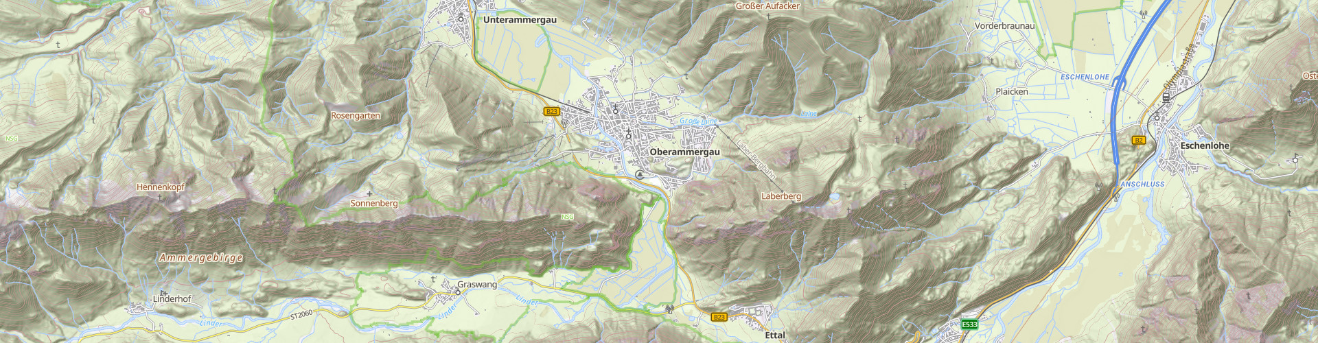
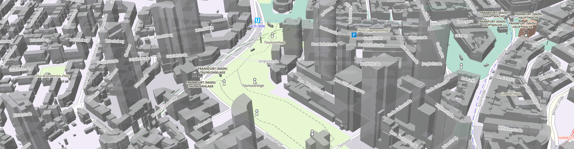
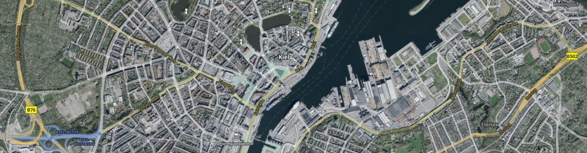
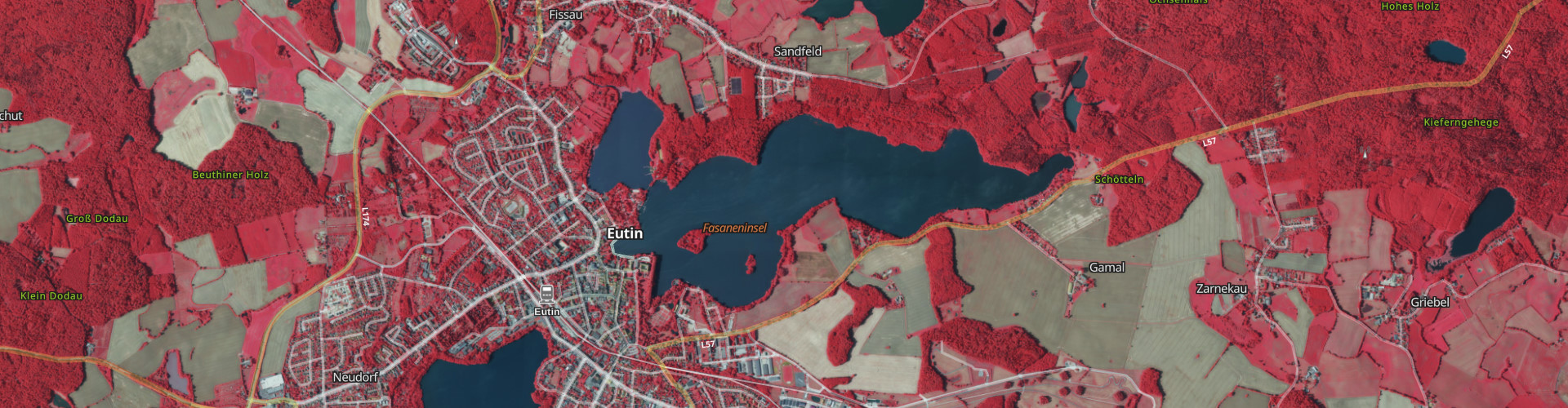
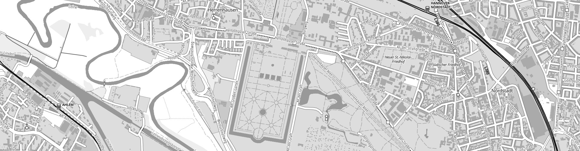
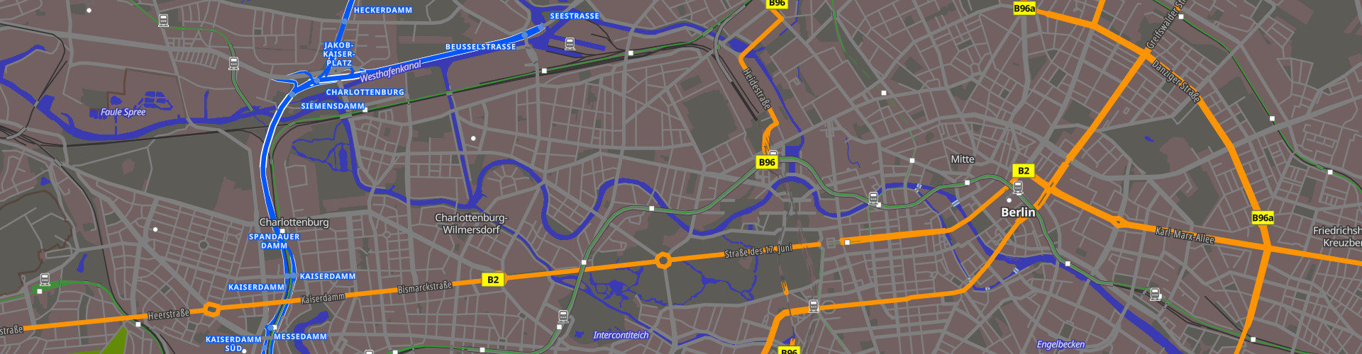
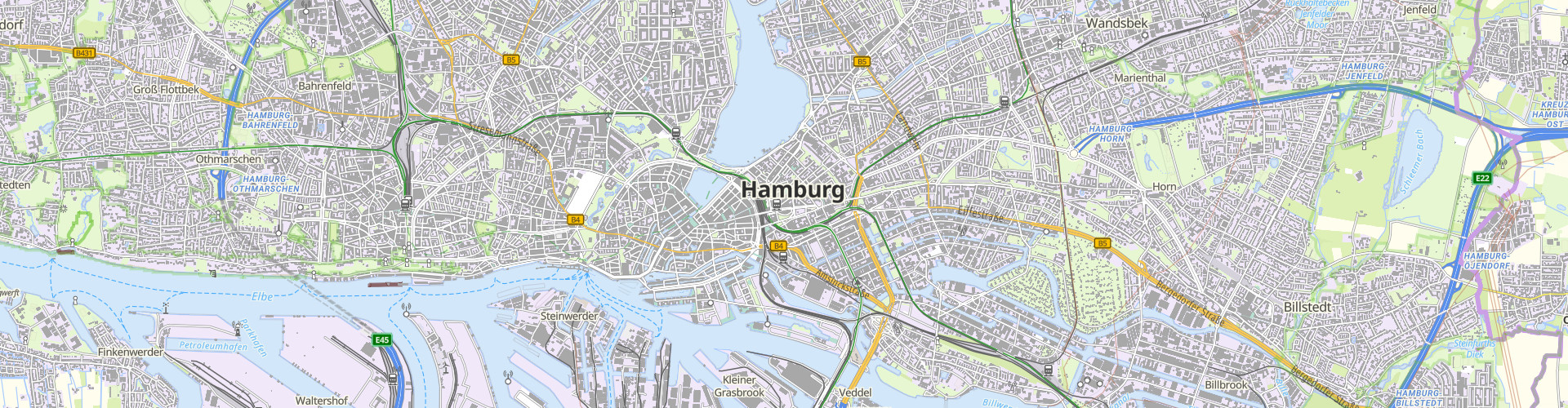
Smart Mapping
Agile processes in the AdV
Background and Manifesto
- A government development collaboration at state and federal level
- Combination of official german survey data with other open geospatial data sources
- Technical platform for agile development, continuous integration, deployment and operation of SDI systems based on cloud technologies
- Use of Free and Open Source Software
- Simple user oriented data model for geospaial data
- Creation of new AdV standard products. Phase 1: Vector Tile based Web Map API
Implementation
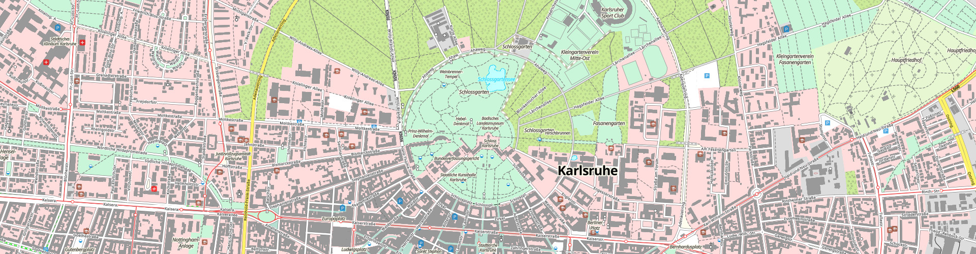
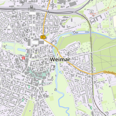
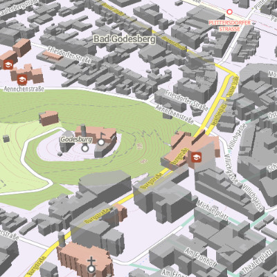
Smart Mapping develops new processes, software and services at all levels of geospatial data processing for the deployment and integration of survey data with other sources. The project team members are state and federal government domain experts and software developers working in a distributed agile environment with the support of an external Scrum Master. The projet follows a phased approach. In the first phase a proof of concept was developed as a live prototype server which derives vector tiles from official geospatial data. It was presented at the Intergeo 2019 congress and trade fair.
The development is coordinated by the AdV working team SmartMapping with participants from the German state surveying offices, the Federal Agency for Cartography and Geodesy (BKG), the German Federal Armed Forces (Bundeswehr ZGeoBW) and third parties from research and education.
Highlights of the new system
- New mobile web maps
- Maps on demand
- New application options for users
- Simple and flexible integration with own data
- Individual styling
- Simple and user friendly data model
- Shared generalization processes
Terms of Use
Smart Mapping is an open development environment. All services, software, data and the terms of use can change any time without prior notice.
- Download and permanent storage of Vector Tiles, Raster Tiles and 3D Tiles is prohibited
- The Online application basemap.de viewer can be used freely
- Map styles created with basemap.de viewer can be used and integrated into other web sites and applications
- Maps created with the print function of basemap.de viewer may be downloaded and printed for test purposes. The private use of the printed maps is permitted. The sale or publication of the printed maps is not permitted.
- Vector Tiles can be integrated free of cost with other applications and for test purposes
- The raster services can be integrated with other applications free of cost
- All services are provided "As-Is" and with no liability whatsoever
- Permanent availability of the service and data are not guaranteed